|
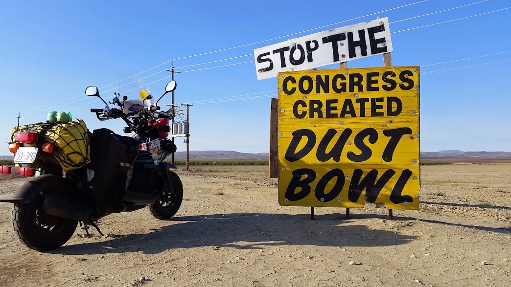
The morning fogs of the central valley settled in as I rode away from Lemoore. The cold mornings seemed to be calling me to a warmer climate...where to go? I poked around my GPS for a bit until uncovering a large 50 mile long by 15 mile wide basin about 70 miles away. I plugged it in and set forth into the golden grassland hills of California once more. Climbing higher from the central valley, the fog dissipated behind me and the sun kissed my cheeks, slowly turning rosy in the UV rays. Turning on Bitterwater Rd, I climbed higher where the wind blew my small bike around but the traffic was nearly non-existent.
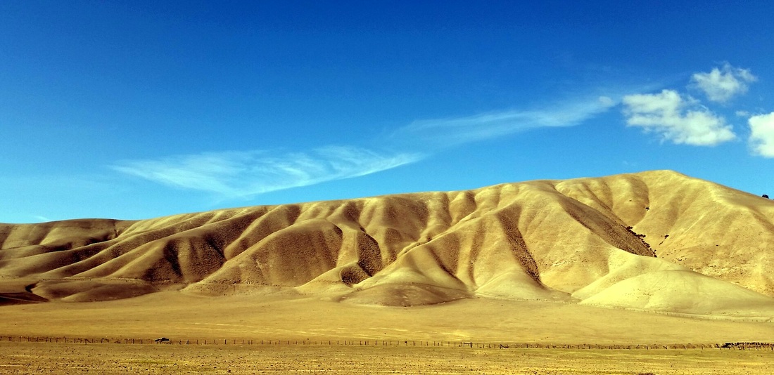
I rode over a crest and immediately saw the long expanse of the Carrizo Plain stretching to the southern horizon. Arid slopes of scrub brush reached until craggy promontories overlooking the broad grassland expanse. Formed into a basin as the result of constant tectonic action, the two crowning geologic features are the large white Soda Lake and San Andreas Fault. An unusually high number of sensitive and threatened species call this environment home, one of the few unspoiled and undeveloped grasslands of this scale in California.
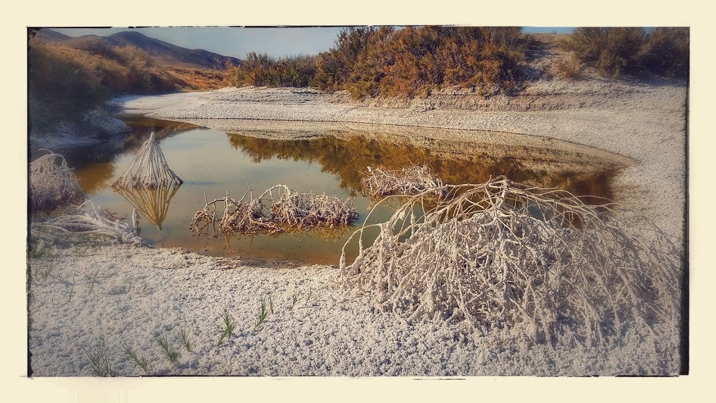
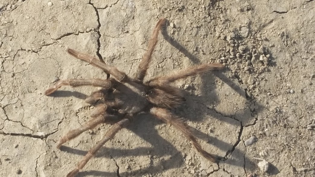
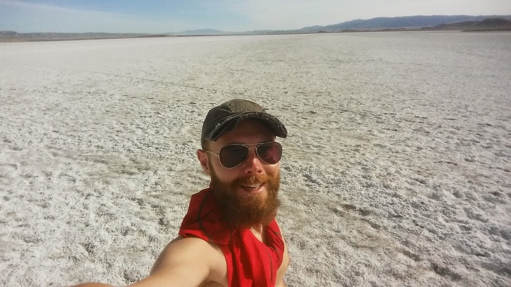
Distances seem so vast in this landscape of wide vision. I ride for an hour until arriving at Soda Lake, park, and begin walking. What appears as a short trail is actually about 1/4 mi or more down to the dry lake. The constant movement of the mountains eventually cut off the drainage for this lake, thus draining into itself during wetter months and evaporating during the majority of the year. I stop dead in my tracks. Before me on the hardpacked sandy trail is the largest spider I've seen in nature, a Tarantuala! I'm not afraid of spiders but the size and hairy-legged arachnid sat unmoved as I hovered my camera around for a few close shots. I'm definitely somewhere "new".
The white salt deposits on the lakebed reflect the sunlight. In the middle of November, I remove my shirt to soak in some rays and amble about the boardwalk trail and out onto the lake surface searching for a fresh area free of footprints in the sand.
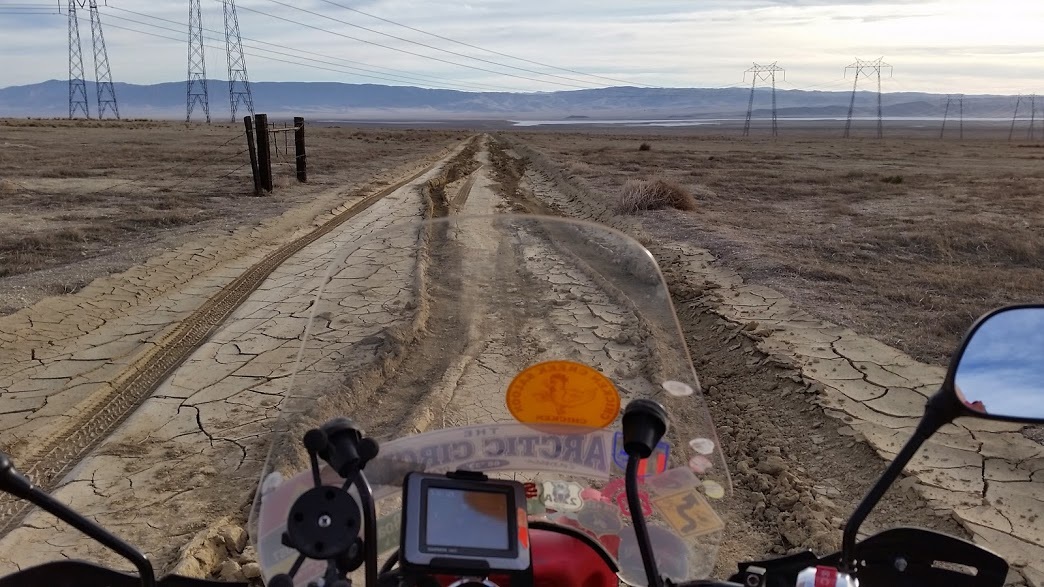
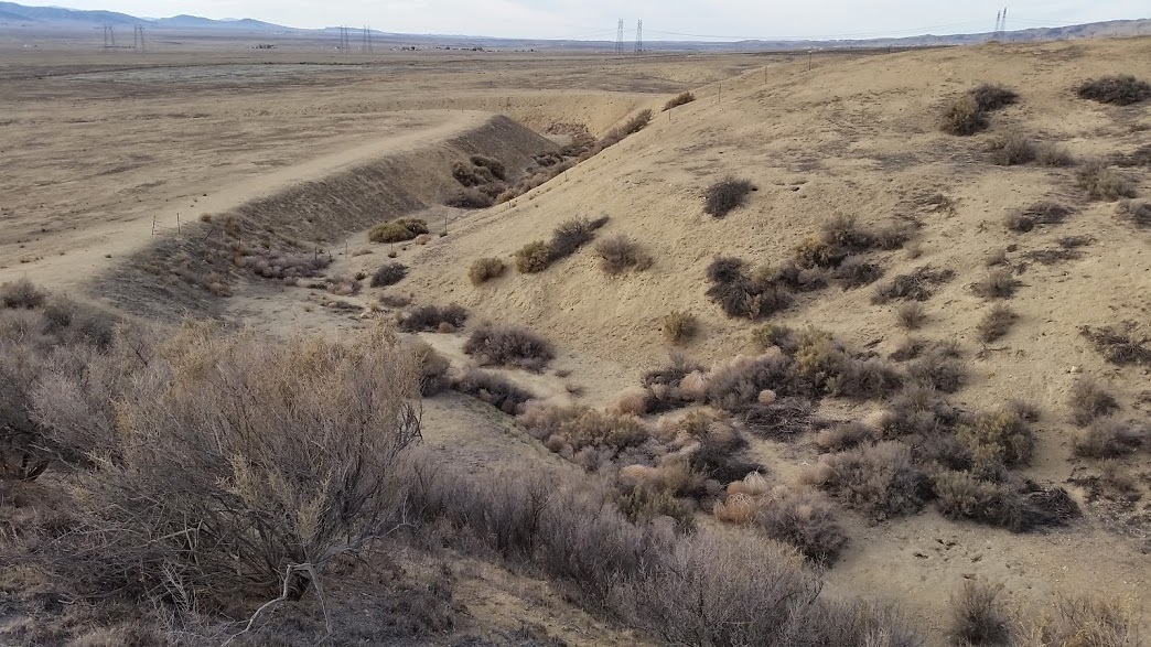
I have the afternoon ahead of me and bounce down a rutted and sandy 8 mi of trail across the plain toward a small mountain ridge. I park and once again continue forward climbing the hill to a rise overlooking a narrow creek bed. The gravity of my location hits me when I realize that I am standing on the edge of the Pacific tectonic plate. 50 feet away across the dry stream bed is the North American plate. Here I stand on the edge of the San Andreas fault with a premonition that the world will split open to swallow me whole. Fortunately it has been a short life well lived, comfort in those thoughts. The offset creek flows wildly at angles through the canyon as a result of the shifting landmasses and frequent earthquakes that occur in this region. An amazing sight and location to behold.
Finally reaching the Selby Camground after a few miles of gravel washboard, I pull up to the rise and survey my site. Metal lean-to's to shade and keep the rare rain storm from picnic tables populate the broad perfectly leveled BLM campground. Free to camp and water available from a plastic spigot, flowing downhill from a tank high above. It is bitter and dries white on my water bottle so I only use it for cooking and cleaning, relying on my full camelback for most of my drinking water...until that eventually runs out.
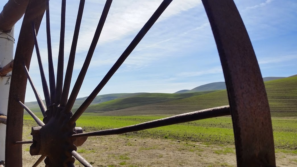
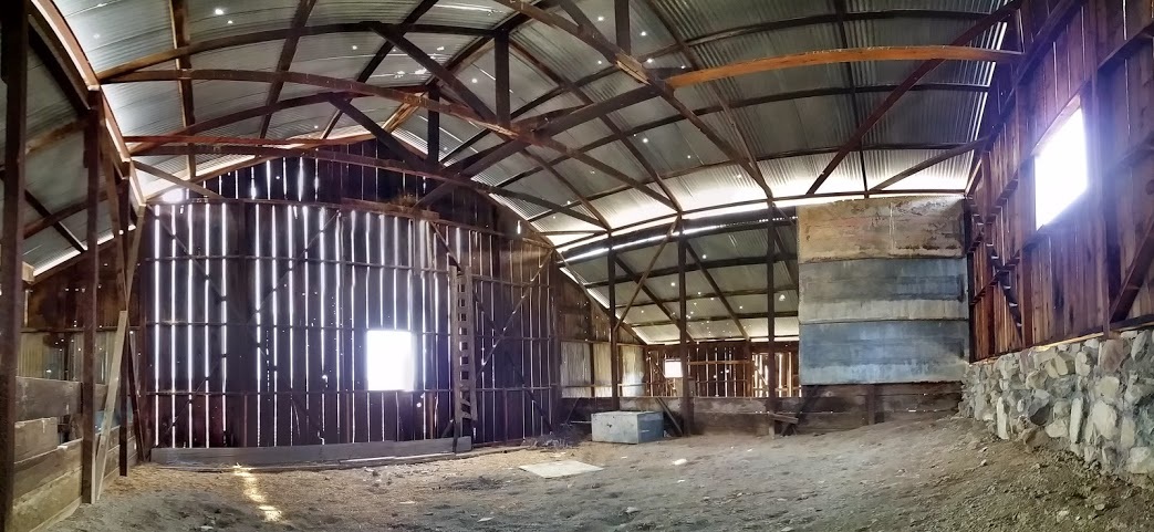
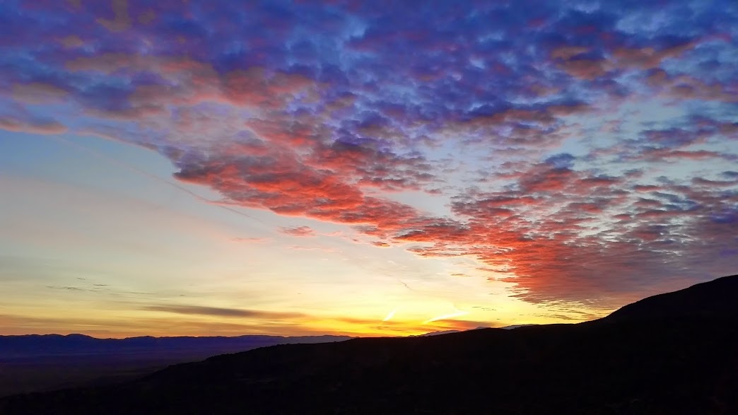
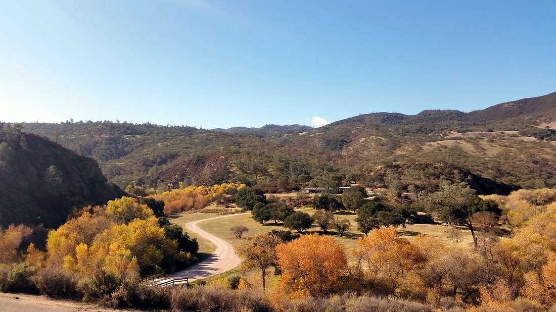
Coyotes frequent the hills around camp, their yipping and howls echoing through the canyons at night. Asleep on top of the picnic table, I do not need a tent in these dry conditions with low wind. I don't have a tent anyway, something I need to add to my list as I approach the desert. The sunrise is enjoyable in the morning breeze turning the blowing clouds orange and pink in the sky. Utilizing the campground as a home base, I spend a full day walking around to hike up to the Caliente Ridge and then down to the old Selby Farm, abandoned 50 years ago. Light filters through cracks in the redwood barn and I can feel a breeze despite having worked my way inside. Out back, an old truck decays into the earth, cracking and dry but semi-preserved in the dry climate. I take a lunch break on the rotten tailgate then continue on to the rock formations nearby.
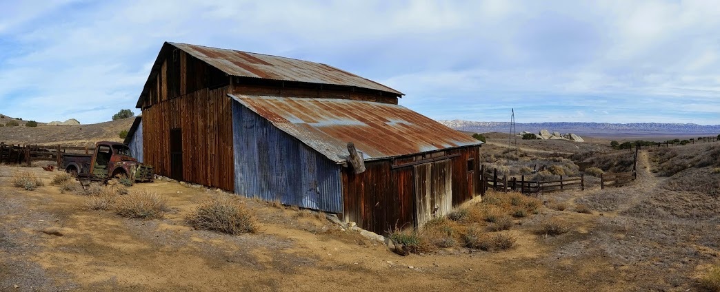
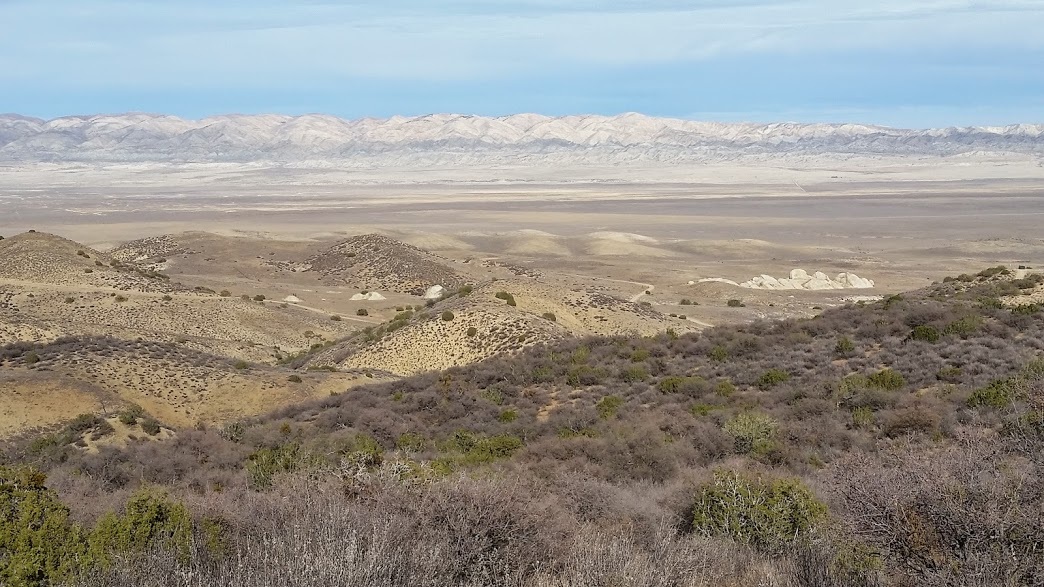
View from Caliente Ridge down toward the rock formations of Selby Ranch.
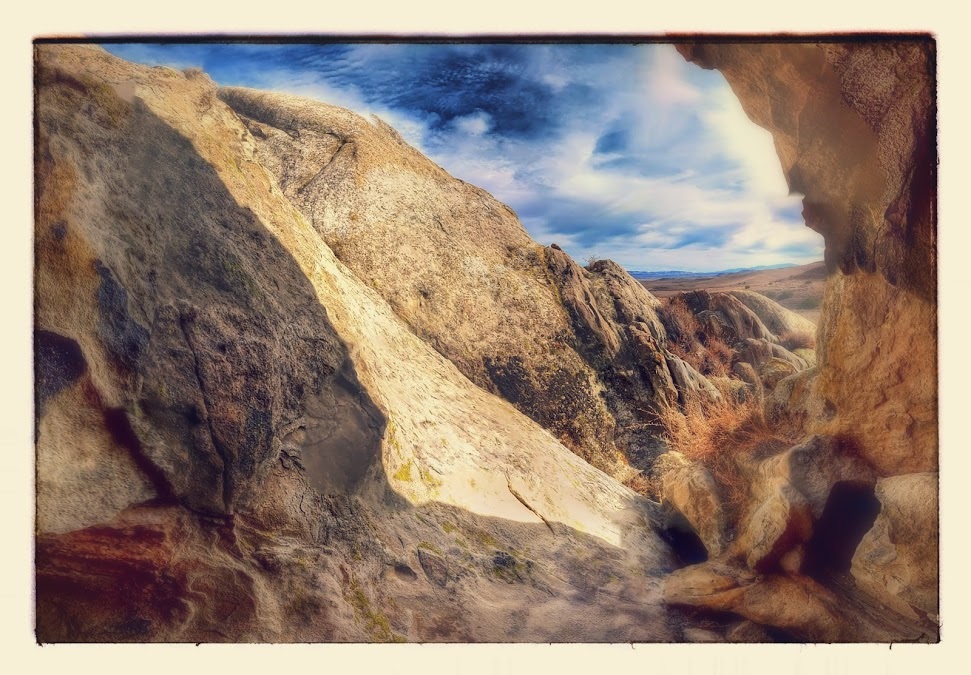
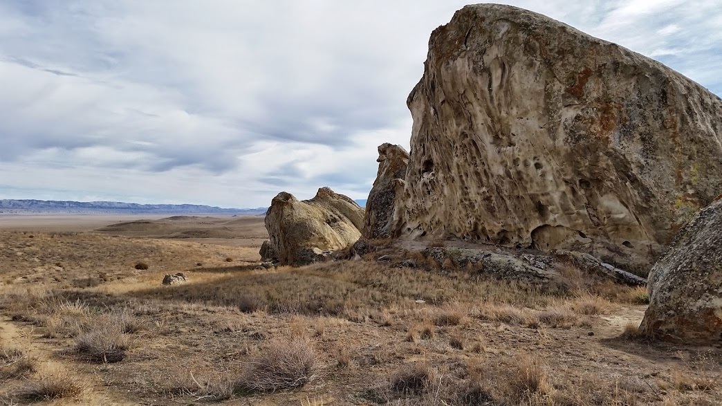
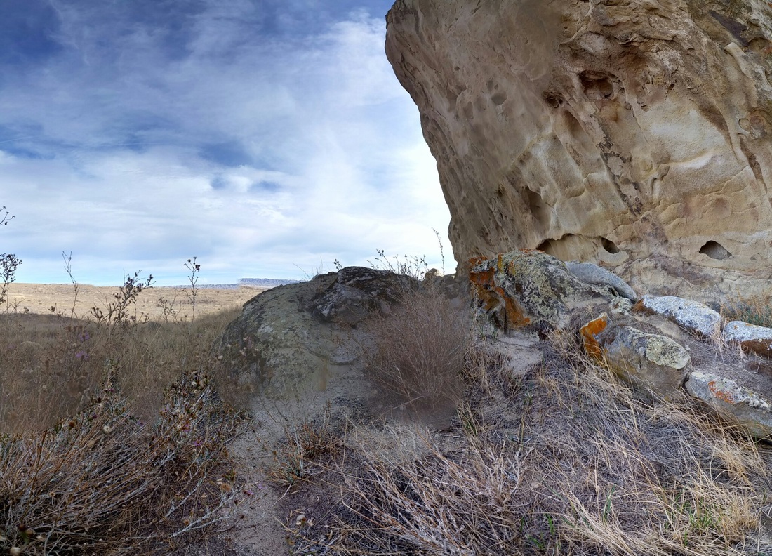
Wind sculpted boulders emerge from the grassland, monolithic in grandeur in such an unpopulated climate. Lichens cover their surface in a variety of greens, yellows and oranges. Nearby, the protected cultural artifact of Painted Rock was a ceremonial site for native american people. Petroglyphs still cover portions of the surface where vandals and modern graffiti hasn't erased the history of a lost people. The lack of care and consideration for the past saddens me.
I settle in for another night asleep on the concrete picnic table. A windy night and a passing shower wakes me by first light. I pack and leave a goodbye note for the only neighboring RV then bounce down the dusty road. I'm headed south into a brooding landscape of purple where a rainstorm dances across the plain 20 miles ahead. A rare gift in such an arid ecosystem. If ever you find yourself in southern California with an itch for openness, I recommend the Carrizo Plain to center your mind and listen to your heartbeat.


 RSS Feed
